Brent Map

maps of twentieth century London


Map Index

City of London

Places of Interest

London Boroughs

Google Maps

Interactive Map

Site Contents

Home

The City

London Boroughs

Sitemap

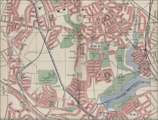
Old Map of Brent, London

The map below shows Brent, situated in north west London, and the surrounding area as it was around 1940. Click on the map to view a larger scale map showing the street plan and the extent of the built up area at the time.

Nine large scale maps are accessible by clicking on a selected area of the map.

 Find Old Maps on Ebay


To view a detailed street map of Brent, London , click on any area of the map below.

Map of the Brent area of London circa 1940

map of Brent, London

The maps on this website have been reproduced with the permission of Collins Bartholomew


privacy

Maps of London